-

How we think about time – and use time to think with – matters for living well. It matters for our understanding of how the world works and for our perceptions of how and whether it might change. These temporal …
-

The Afro-Asian Networks project investigates networks of Asian and African intellectuals, activists, writers, and artists moving within the global context of the early Cold War in the first decades of decolonisation. At the time of this study, this interdisciplinary research …
-
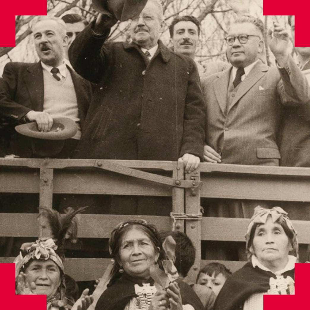
Leaders of the past, like those of the present, never act alone. An individual’s networks and what they do with them can help to explain how a person eventually comes to represent others in the public sphere. Mapping Intercultural Connectio…
-
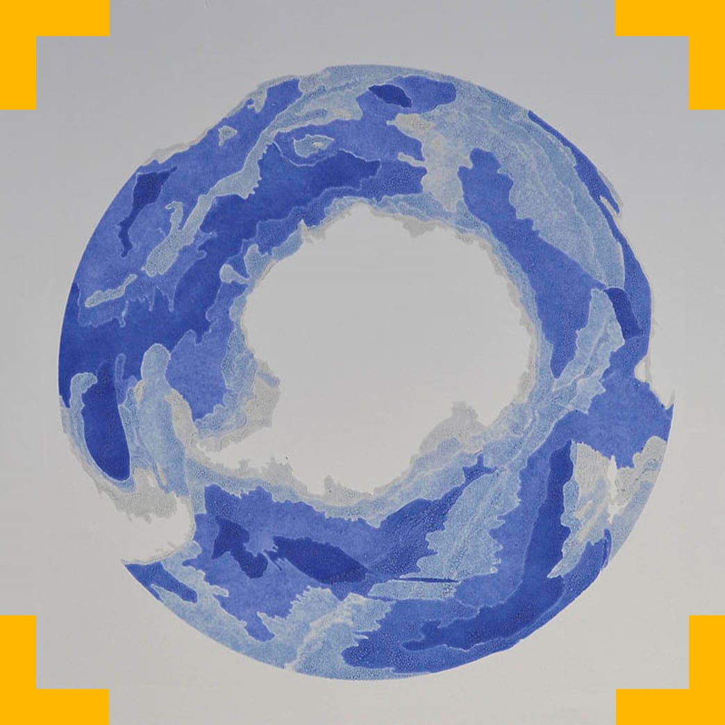
‘The sea’s ancient role as the ultimate place of catharsis is prominent in many religious traditions. It makes terrestrial existence possible by keeping it “pure.” Historically, many cultures have revered the sea, and at the same time they have made …
-
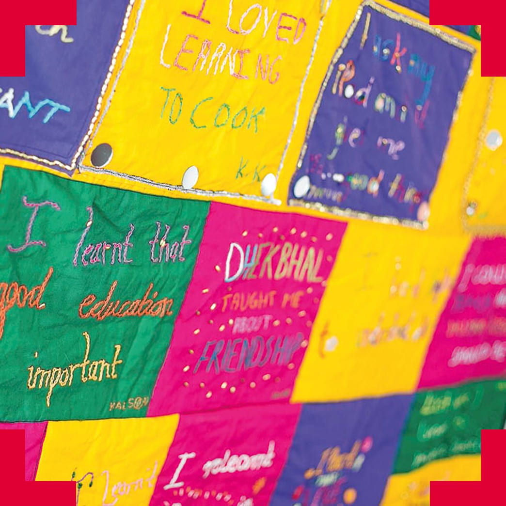
Dhek Bhal, a community-based charity, has been working with the ageing South Asian population in Bristol experiencing social isolation and vulnerability. This project sought to build on their unique legacy of culturally responsive services to collaboratively explore the use of …
-
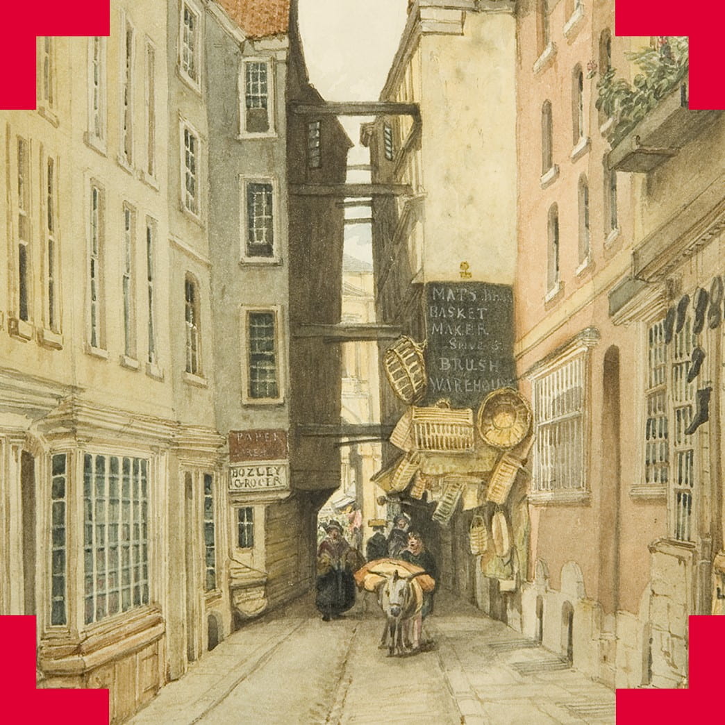
As we move through the city, it is not always clear whether the spaces through which we pass are public or private, but this issue impacts upon the daily lives of citizens. Public space is a rather inchoate concept and …
-

The study of seismology reveals the activity of the Earth on all length and time scales: the ground outside our front doors, as well as the ground beneath the farthest reaches of the globe, but also the ground throughout Earth’s …
-
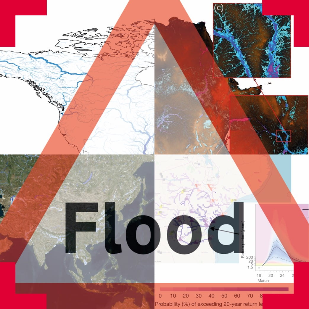
Flooding is a natural hazard that affects millions of people throughout the world every year. Fatalities from flooding occur disproportionally in developing countries, where difficulties in relief efforts are compounded by lack of information about flood and settlement patterns.
Flood …
-

With the profound changes brought by industrialisation to the nature of urban living came powerful forces that altered the way our cities are structured and shaped the course their development took over the decades. Industry brought pollution, which in turn …

Brigstow brings researchers from different disciplines together with a range of partners across the city and beyond to experiment in new ways of living and being.