
Mapping, Data and Interdisciplinarity. Work in Progress Online
Fri, 3 July 2020 2-3pm
Come and join us for a Brigstow work in progress conversation that brings together two of our current co-produced projects for brief work-in-progress presentations and an opportunity for questions and conversation from you. These interdisciplinary projects explore how mapping, history and engagement can bring new insights, from how pollution and the clearance of slum housing has and continues to shape urban development, to informing and testing flood-data design principles that will improve emergency responses to disaster relief at a global scale.
The projects are:
 MAPHIS: Mapping History – What historical maps can tell us about urban development with Yanos Zylberberg (Economics), Peter Insole (Bristol City Council), Natalie Thurlby (Jean Golding Institute), Emma Tournier (Bristol City Council) and Robert Bickers (History).
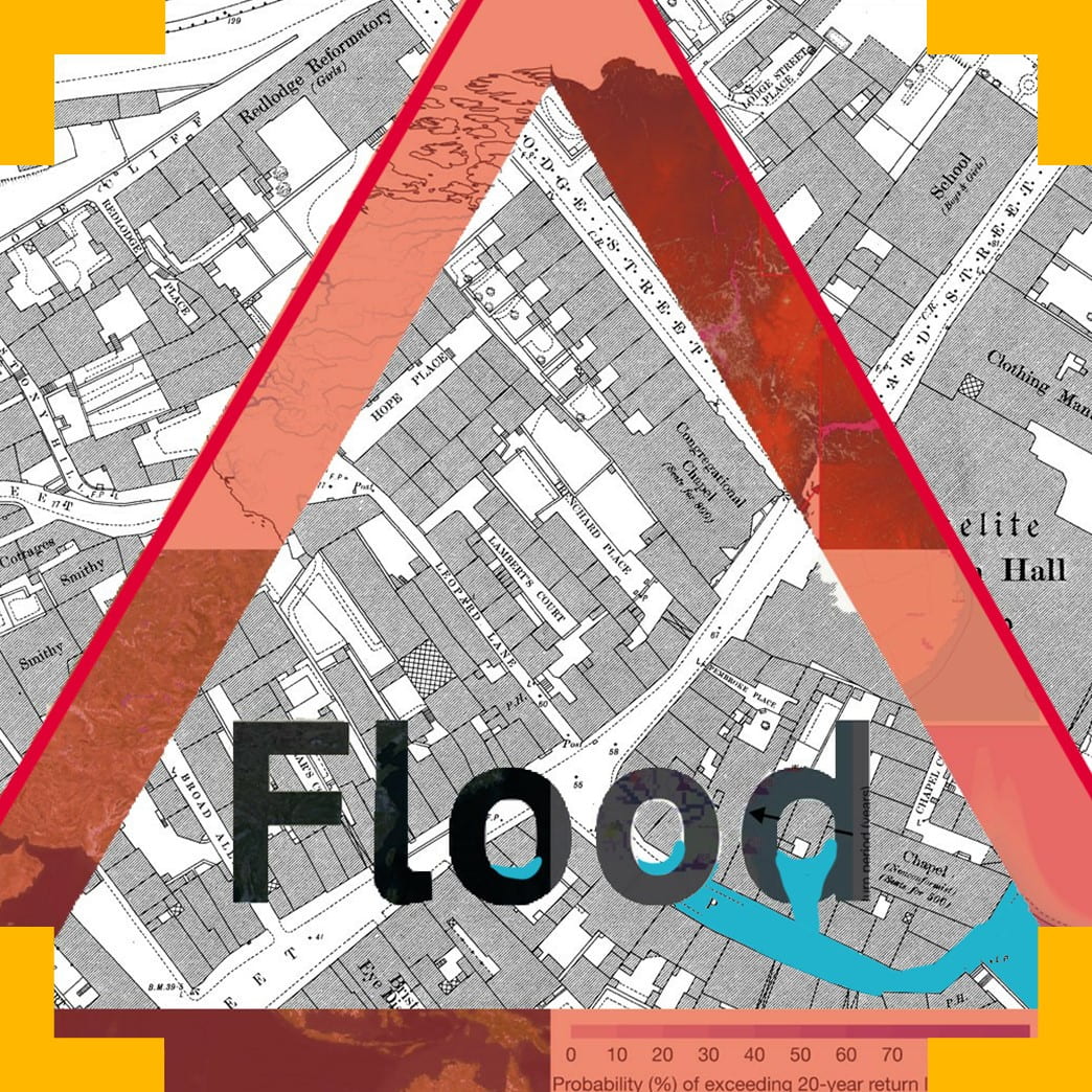
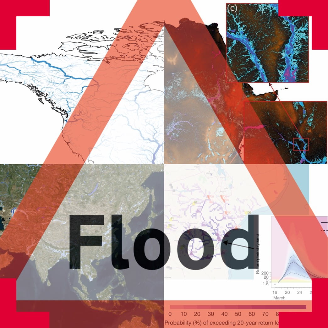 How can flood data be more useful? With Laurence Hawker (Geographical Sciences), Beth Tellman (Columbia University), Andrea Ficchi (University of Reading), Elizabeth Haines (History), Shaun Harrigan (European Centre for Medium-Range Weather Forecast), Sara De Wit (University of Oxford), Emma Mumford (MapAction), Emmalina Glinkis (Cloud to Street), Natalie Thurlby (Jean Golding Institute), Anne-Laure Donskoy (Sociology, Politics and International Studies) and Leanne Archer (Geographical Sciences).
Please note that this meeting will take place online and will be recorded. A subtitled recording will be made available after the meeting.